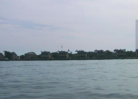
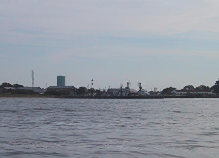
In the photos below, you'll see "officer's row" on Sandy Hook. These are part of the old military installations on the hook. The houses were officer's homes during the WWII era. The lighthouse in the photo was near the north end of the hook when constructed in the 1800's. Since then, the hook as grown by over 1/2 mile as sand migrates up the coast and dumps along this northern point. The next picture is an active coast guard station near the north end of the hook.
The next photo is the point at the north-west end of the hook.
As we round this point, we enter a major shipping channel and must be careful
of large craft entering the harbor. The next photo is the same lighthouse
we saw before, but this time from the ocean side. On relatively calm
days, it's a nice trip around the hook and there are some near-shore reefs
and rocks within a few miles that are popular fishing destinations.
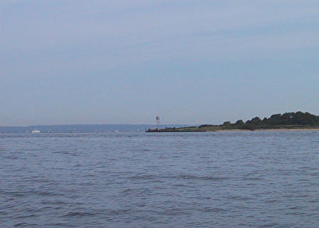
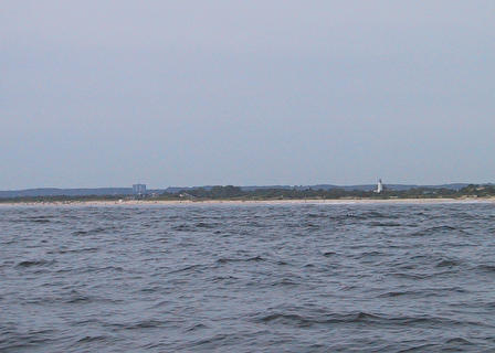
The next photo is heading south back towards the Atlantic Highlands.
Almost back to the base of Sandy Hook are some small islands and coves
that are popular stops for boaters. The second photo is Skeleton
Hill Island with Spermicetti Cove to the right.
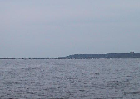
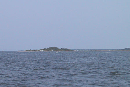
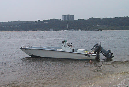
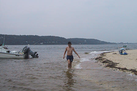
In the following photos, we have our boat anchored just off this island
and we've gone ashore for some beach time.
